Land & Property Search
Find out who owns a piece of land, what the title says and what could affect it, using our direct access to HM Land Registry records across England and Wales. Drop a pin on the map below to show us exactly where.
What your report covers
Every report is built around your land and your questions, whether you are buying, selling or sorting out a boundary. It usually covers:
Your title explained
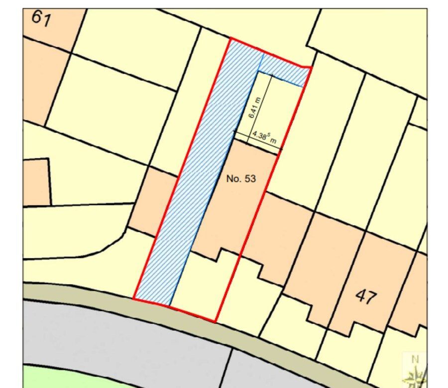
Official Copies of the register and Title Plan, read entry by entry: owners, rights, restrictions, mortgages and covenants, and why each one matters. Unregistered land is checked with a Search of the Index Map.
Deeds and old plans
We read the conveyances and plans filed behind the title, so you know what was actually granted, reserved and agreed, and which documents are still missing.
Boundaries, trees and verges
Where the boundaries lie, who owns the hedges, trees and verges, and who is responsible for them.
Access and rights of way
Rights over drives, tracks and shared accesses, how far they reach, and who looks after them.
Drainage and services
Drainage rights, shared or private septic tanks, oil tanks, and the questions to ask about them.
Planning and tree protection
Planning history and conditions on and around the land, Tree Preservation Orders, conservation areas and other designations.
Flood risk
The flood zone for rivers and the sea, surface water risk, and any flood alerts or warnings for the area.
Measurements and value
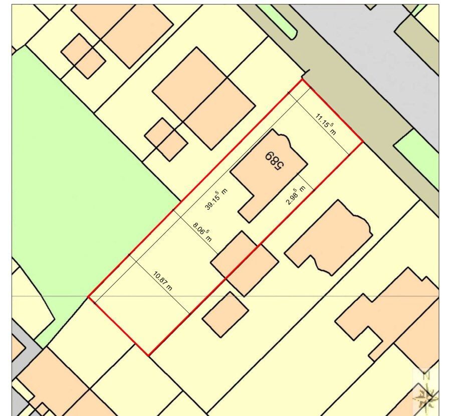
Site area and boundary lengths from the Title Plan, with a scaled plan where it helps, and an indication of value from recent nearby sales where evidence exists.
What you receive
A clear written report that starts with a plain-English summary of the answers to your questions, followed by the detail and a checklist of next steps: documents to obtain, questions to put to the seller through your conveyancer, and any searches or surveys worth commissioning.
Reports give practical guidance based on over 20 years' experience of land registration. They are not legal advice or a formal RICS valuation, and your conveyancer should confirm points on title before you exchange contracts.
Drop a pin on the land
Show us exactly where the land is, especially if it has no address.
Zoom in and click on the land you are asking about. You can drag the pin to adjust it. Switch to Satellite(top right of the map) to see fields and hedges.
Send us your enquiry
Related Services
Property Deed Recovery Service
Retrieving copies of title deeds and historical documents for properties, whether registered or unregistered.
Property Dimensions
Accurate measurement and mapping of land and property boundaries to establish or confirm plot dimensions.
Building History
Tracing the history and past use of a building or plot, drawn from historic records and mapping.
TPO and Flood Reports
Assessing Tree Preservation Order constraints and flood risk factors that could affect a property or development site.
Adverse Possession Drawings
Scaled boundary drawings to support adverse possession applications and land ownership claims.
Measured Drawings
Accurate measured drawings of land and buildings, produced to support planning, legal, and development requirements.
Need practical guidance on a complex matter?
Get in touch for practical guidance based on over 20 years' Land Registry experience.
How We Work
01 Initial Enquiry
Drop a pin on the map or tell us the address, say what you need to know, and share any documents you already have.
02 Investigation
We review the documents and background, using our direct HM Land Registry access where needed.
03 Guidance & Solutions
We set out clear, practical options and recommend the best way forward for your situation.
04 Resolution
We carry out the work and provide clear documentation to resolve your matter.
